Restoration planning from the air
Low cost aerial surveys for conservation
Low cost aerial surveys for conservation
Preventing the conversion of the world’s two billion hectares of degraded tropical forests to agriculture is a top conservation priority. This requires effective management, dependent upon high quality forest survey data across extensive areas to enable informed decisions regarding conservation, restoration and the production of commodities to be made. Unmanned aerial vehicles (UAVs) make possible the acquisition of high resolution forest canopy images at relatively little cost but assessing forest quality from these images presents a significant technical challenge.
The project will develop the use of UAVs for forest survey work at sites that have been degraded through the extraction of forest products, especially large trees for timber, resulting in complex mosaics of forest at various stages of regeneration.
Aerial imagery acquired from the sites will be analysed at the University of Cambridge, where recent advances in image recognition software will be refined. Mathematical techniques will be developed to enable automatic measurement of the tree size and abundance, and identification of indicator species. Landscape scale maps of forest quality and restoration potential will then be produced.
Land management decisions regarding where to carry out expensive restoration techniques, such as planting trees or removing invasive species, or where to establish income generating plantations will benefit enormously from this information. It is the aim of the project that by developing the software into a freely available open source package, it will become an indispensable tool for forest managers across the world, greatly aiding the conservation of degraded tropical forest.

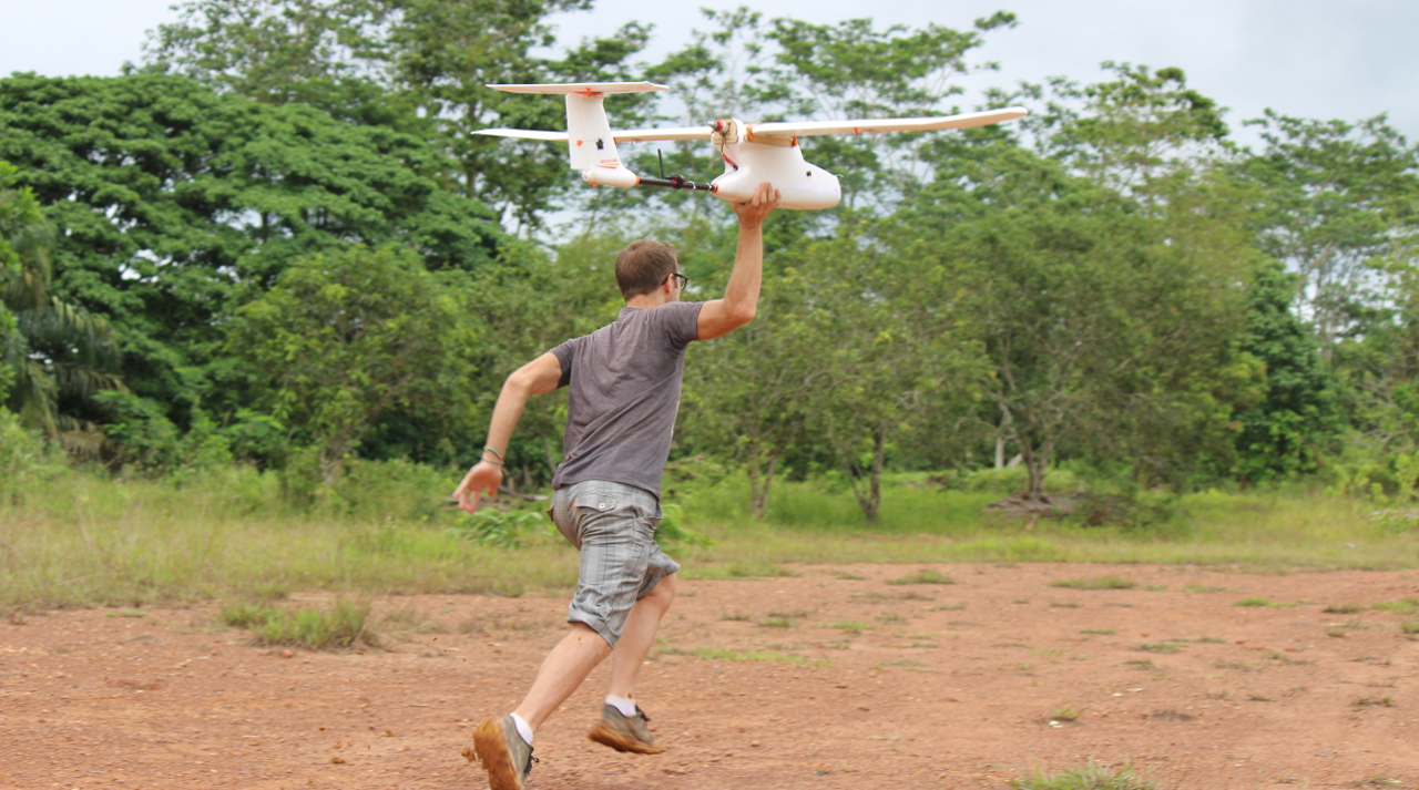
Launching a UAV


